
Senec topographic map
Interactive map
Click on the map to display elevation.
About this map
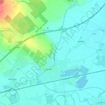
Name: Senec topographic map, elevation, terrain.
Location: Senec, Region of Bratislava, 90301, Slovakia (48.19586 17.37857 48.23096 17.43857)
Average elevation: 128 m
Minimum elevation: 119 m
Maximum elevation: 158 m