
Red Hill topographic map
Interactive map
Click on the map to display elevation.
About this map
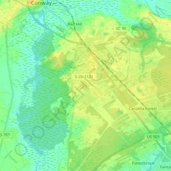
Name: Red Hill topographic map, elevation, terrain.
Average elevation: 9 m
Minimum elevation: -1 m
Maximum elevation: 18 m
Other topographic maps
Click on a map to view its topography, its elevation and its terrain.
Crosswinds
United States > South Carolina > Horry County > Red Hill
Crosswinds, Red Hill, Horry County, South Carolina, 29528, United States
Average elevation: 11 m