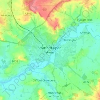
Stratford-upon-Avon topographic map
Interactive map
Click on the map to display elevation.
About this map
Name: Stratford-upon-Avon topographic map, elevation, terrain.
Average elevation: 58 m
Minimum elevation: 32 m
Maximum elevation: 126 m

Click on the map to display elevation.
Name: Stratford-upon-Avon topographic map, elevation, terrain.
Average elevation: 58 m
Minimum elevation: 32 m
Maximum elevation: 126 m