
Marshall topographic map
Interactive map
Click on the map to display elevation.
About this map
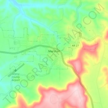
Name: Marshall topographic map, elevation, terrain.
Location: Marshall, Searcy County, Arkansas, USA (35.89277 -92.67378 35.92193 -92.60221)
Average elevation: 331 m
Minimum elevation: 226 m
Maximum elevation: 503 m