
Lonavala topographic map
Interactive map
Click on the map to display elevation.
About this map
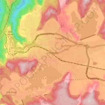
Name: Lonavala topographic map, elevation, terrain.
Location: Lonavala, Mawal, Pune District, Maharashtra, 410400, India (18.71486 73.36167 18.79486 73.44167)
Average elevation: 613 m
Minimum elevation: 136 m
Maximum elevation: 882 m