
Uddel topographic map
Interactive map
Click on the map to display elevation.
About this map
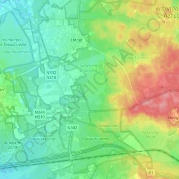
Name: Uddel topographic map, elevation, terrain.
Location: Uddel, Apeldoorn, Gelderland, Netherlands (52.19373 5.72639 52.27267 5.87992)
Average elevation: 47 m
Minimum elevation: 18 m
Maximum elevation: 110 m