
Invermay topographic map
Interactive map
Click on the map to display elevation.
About this map
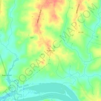
Name: Invermay topographic map, elevation, terrain.
Location: Invermay, Mecklenburg County, Virginia, USA (36.60709 -78.21194 36.64709 -78.17194)
Average elevation: 79 m
Minimum elevation: 57 m
Maximum elevation: 107 m