
Benahavís topographic map
Interactive map
Click on the map to display elevation.
About this map
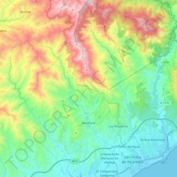
Name: Benahavís topographic map, elevation, terrain.
Location: Benahavís, Malaga, Andalusia, 29679, Spain (36.46919 -5.14009 36.64236 -4.97060)
Average elevation: 484 m
Minimum elevation: 0 m
Maximum elevation: 1,474 m