
Lambrugo topographic map
Interactive map
Click on the map to display elevation.
About this map
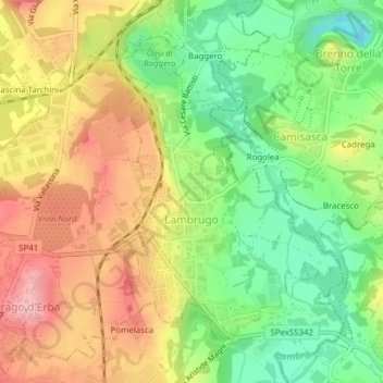
Name: Lambrugo topographic map, elevation, terrain.
Location: Lambrugo, CO, Lombardei, 22045, Italien (45.75066 9.23436 45.77162 9.25716)
Average elevation: 283 m
Minimum elevation: 211 m
Maximum elevation: 359 m