
Brookfield topographic map
Interactive map
Click on the map to display elevation.
About this map
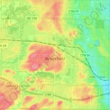
Name: Brookfield topographic map, elevation, terrain.
Location: Brookfield, Waukesha County, Wisconsin, USA (43.01640 -88.18589 43.10520 -88.06612)
Average elevation: 251 m
Minimum elevation: 211 m
Maximum elevation: 298 m