
Bernina topographic map
Interactive map
Click on the map to display elevation.
About this map
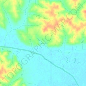
Name: Bernina topographic map, elevation, terrain.
Location: Bernina, Mahaska County, Iowa, United States (41.38778 -92.78603 41.42778 -92.74603)
Average elevation: 231 m
Minimum elevation: 215 m
Maximum elevation: 262 m