
Fairyland topographic map
Interactive map
Click on the map to display elevation.
About this map
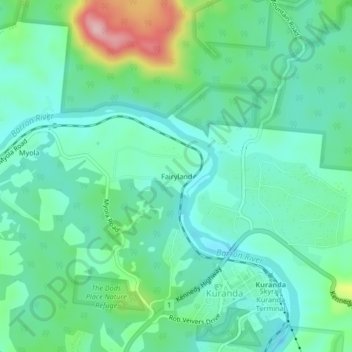
Name: Fairyland topographic map, elevation, terrain.
Location: Fairyland, Kuranda, Queensland, 4881, Australia (-16.82724 145.60792 -16.78724 145.64792)
Average elevation: 363 m
Minimum elevation: 314 m
Maximum elevation: 508 m