
Manning topographic map
Interactive map
Click on the map to display elevation.
About this map
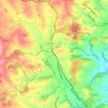
Name: Manning topographic map, elevation, terrain.
Location: Manning, Vöcklabruck, Upper Austria, 4903, Austria (48.04725 13.63866 48.09527 13.69332)
Average elevation: 497 m
Minimum elevation: 414 m
Maximum elevation: 584 m