
Pelham topographic map
Interactive map
Click on the map to display elevation.
About this map
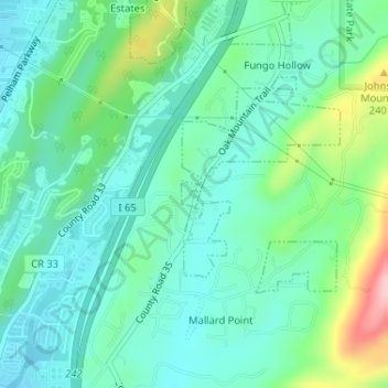
Name: Pelham topographic map, elevation, terrain.
Location: Pelham, Shelby County, Alabama, United States of America (33.29748 -86.79112 33.29804 -86.79052)
Average elevation: 176 m
Minimum elevation: 133 m
Maximum elevation: 302 m