
Åvitsland topographic map
Interactive map
Click on the map to display elevation.
About this map
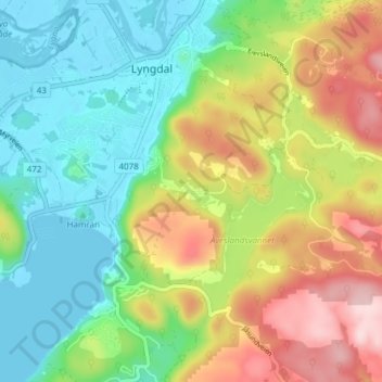
Name: Åvitsland topographic map, elevation, terrain.
Location: Åvitsland, Lyngdal, West Agder, 4580, Norway (58.10513 7.05644 58.14513 7.09644)
Average elevation: 101 m
Minimum elevation: -2 m
Maximum elevation: 269 m