
Foster topographic map
Interactive map
Click on the map to display elevation.
About this map
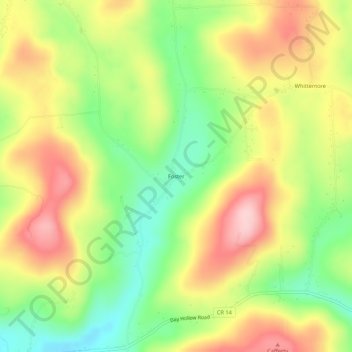
Name: Foster topographic map, elevation, terrain.
Location: Foster, Tioga County, New York, United States (42.10924 -76.16326 42.14924 -76.12326)
Average elevation: 403 m
Minimum elevation: 299 m
Maximum elevation: 514 m