
Panj river topographic map
Interactive map
Click on the map to display elevation.
About this map
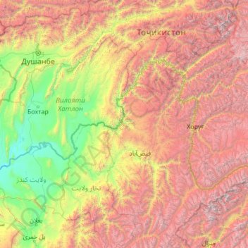
Name: Panj river topographic map, elevation, terrain.
Location: Panj river, Raghistan, Badakhshan, Afghanistan (36.67113 68.30643 38.49107 72.66258)
Average elevation: 2,581 m
Minimum elevation: 315 m
Maximum elevation: 7,533 m