
Chlef topographic map
Interactive map
Click on the map to display elevation.
Chlef
Chlef lies in a valley at an elevation of 114 metres (374 ft) between two ranges of hills to the north and west. The city is surrounded by farmland; there are scattered trees both in the valley and on the hills.
About this map
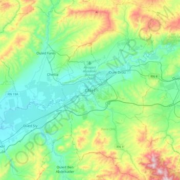
Name: Chlef topographic map, elevation, terrain.
Location: Chlef, Chlef District, Chlef, 02000, Algeria (36.00459 1.17150 36.32459 1.49150)
Average elevation: 277 m
Minimum elevation: 68 m
Maximum elevation: 869 m