
Barnard topographic map
Interactive map
Click on the map to display elevation.
About this map
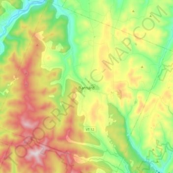
Name: Barnard topographic map, elevation, terrain.
Location: Barnard, Windsor County, Vermont, 05031, United States (43.66468 -72.71599 43.79436 -72.53393)
Average elevation: 463 m
Minimum elevation: 179 m
Maximum elevation: 850 m