
Wolfach topographic map
Interactive map
Click on the map to display elevation.
Wolfach
Due to the harsh topographical location, Wolfach has not received significant expansion. The most significant expansion was the Straßburger Hof, a suburban area which extends to the west of the town center and began construction in 1927.
About this map
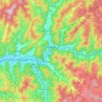
Name: Wolfach topographic map, elevation, terrain.
Average elevation: 522 m
Minimum elevation: 225 m
Maximum elevation: 946 m
Other topographic maps
Click on a map to view its topography, its elevation and its terrain.