
Lambichl topographic map
Interactive map
Click on the map to display elevation.
About this map
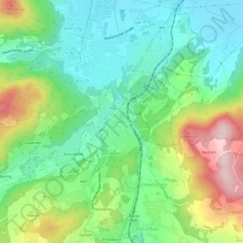
Name: Lambichl topographic map, elevation, terrain.
Location: Lambichl, Klagenfurt-Land, Kärnten, 9073, Österreich (46.55843 14.26140 46.59843 14.30140)
Average elevation: 540 m
Minimum elevation: 433 m
Maximum elevation: 751 m