
May District topographic map
Interactive map
Click on the map to display elevation.
About this map
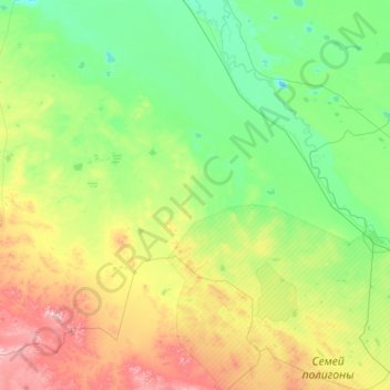
Name: May District topographic map, elevation, terrain.
Location: May District, Pavlodar Region, Kazakhstan (50.03774 76.20623 51.83306 78.81981)
Average elevation: 266 m
Minimum elevation: 102 m
Maximum elevation: 992 m
Other topographic maps
Click on a map to view its topography, its elevation and its terrain.