
Blumont topographic map
Interactive map
Click on the map to display elevation.
About this map
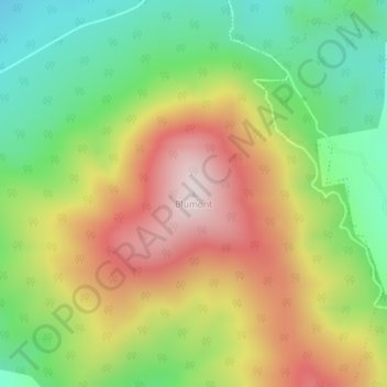
Name: Blumont topographic map, elevation, terrain.
Location: Blumont, Launceston, Tasmania, 7250, Australia (-41.18877 147.40721 -41.18867 147.40731)
Average elevation: 385 m
Minimum elevation: 147 m
Maximum elevation: 670 m
Tasmania trails, hiking, mountain biking, running and outdoor activities
Other topographic maps
Click on a map to view its topography, its elevation and its terrain.