
Northern State topographic map
Interactive map
Click on the map to display elevation.
About this map
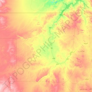
Name: Northern State topographic map, elevation, terrain.
Location: Northern State, Sudan (16.56463 25.00000 22.22492 32.72731)
Average elevation: 409 m
Minimum elevation: 135 m
Maximum elevation: 1,036 m
Other topographic maps
Click on a map to view its topography, its elevation and its terrain.