
Balranald topographic map
Interactive map
Click on the map to display elevation.
About this map
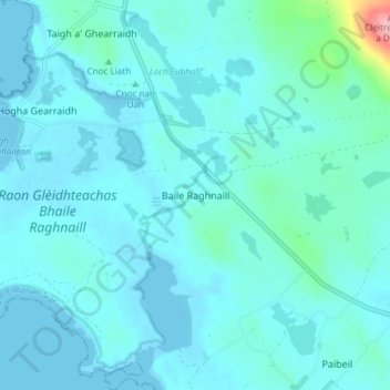
Name: Balranald topographic map, elevation, terrain.
Location: Balranald, Western Isles, Scotland, HS6 5DW, United Kingdom (57.58055 -7.50491 57.62055 -7.46491)
Average elevation: 13 m
Minimum elevation: -1 m
Maximum elevation: 133 m