
Olney topographic map
Interactive map
Click on the map to display elevation.
About this map
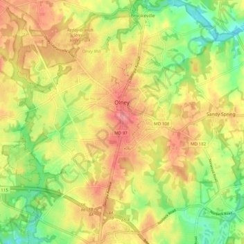
Name: Olney topographic map, elevation, terrain.
Location: Olney, Montgomery County, Maryland, United States (39.10899 -77.10637 39.18515 -77.03323)
Average elevation: 135 m
Minimum elevation: 89 m
Maximum elevation: 175 m