
Isle of Sheppey topographic map
Interactive map
Click on the map to display elevation.
About this map
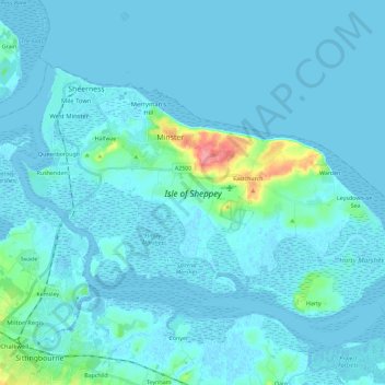
Name: Isle of Sheppey topographic map, elevation, terrain.
Average elevation: 6 m
Minimum elevation: -4 m
Maximum elevation: 74 m
Other topographic maps
Click on a map to view its topography, its elevation and its terrain.
Minster
United Kingdom > England > Swale > Minster
Minster, Swale, Kent, South East England, England, ME12 3QD, United Kingdom
Average elevation: 9 m