
Cres topographic map
Interactive map
Click on the map to display elevation.
About this map
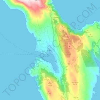
Name: Cres topographic map, elevation, terrain.
Location: Cres, Primorje-Gorski Kotar County, 51557, Croatia (44.92049 14.36872 45.00049 14.44872)
Average elevation: 97 m
Minimum elevation: -4 m
Maximum elevation: 483 m