
Fryerstown topographic map
Interactive map
Click on the map to display elevation.
About this map
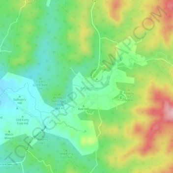
Name: Fryerstown topographic map, elevation, terrain.
Location: Fryerstown, Shire of Mount Alexander, Victoria, Australia (-37.15849 144.22973 -37.11849 144.26973)
Average elevation: 362 m
Minimum elevation: 284 m
Maximum elevation: 493 m
Victoria trails, hiking, mountain biking, running and outdoor activities