
Remicourt topographic map
Interactive map
Click on the map to display elevation.
About this map
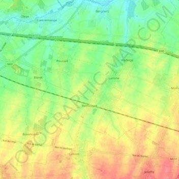
Name: Remicourt topographic map, elevation, terrain.
Location: Remicourt, Liège, Wallonia, 4350, Belgium (50.66570 5.28840 50.70392 5.39654)
Average elevation: 132 m
Minimum elevation: 101 m
Maximum elevation: 168 m