
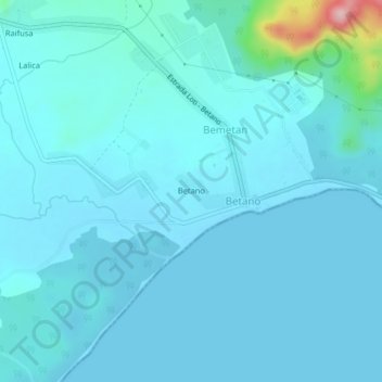
Betano topographic map
Interactive map
Click on the map to display elevation.
About this map
Name: Betano topographic map, elevation, terrain.
Location: Betano, Manufahi, East Timor (-9.18371 125.70384 -9.14371 125.74384)
Average elevation: 19 m
Minimum elevation: -1 m
Maximum elevation: 222 m