
Hanle topographic map
Interactive map
Click on the map to display elevation.
About this map
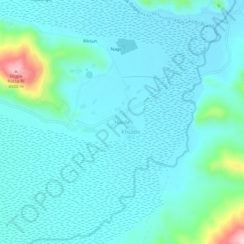
Name: Hanle topographic map, elevation, terrain.
Location: Hanle, Leh, Leh District, Ladakh, India (32.75148 78.96321 32.79148 79.00321)
Average elevation: 4,287 m
Minimum elevation: 4,249 m
Maximum elevation: 4,517 m