
Castle Hills topographic map
Interactive map
Click on the map to display elevation.
About this map
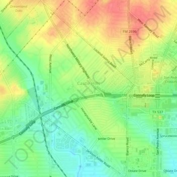
Name: Castle Hills topographic map, elevation, terrain.
Location: Castle Hills, Bexar County, Texas, 78213, United States (29.50296 -98.53699 29.54124 -98.50520)
Average elevation: 257 m
Minimum elevation: 227 m
Maximum elevation: 290 m