
Moreton topographic map
Interactive map
Click on the map to display elevation.
About this map
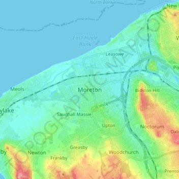
Name: Moreton topographic map, elevation, terrain.
Location: Moreton, North West England, England, CH46 0PF, United Kingdom (53.36092 -3.15323 53.44092 -3.07323)
Average elevation: 16 m
Minimum elevation: -1 m
Maximum elevation: 78 m