
Arlit topographic map
Interactive map
Click on the map to display elevation.
About this map
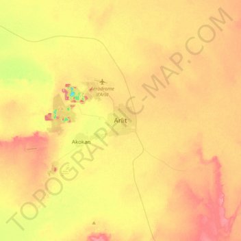
Name: Arlit topographic map, elevation, terrain.
Location: Arlit, Agadez, 188, Niger (18.57908 7.23333 18.89908 7.55333)
Average elevation: 427 m
Minimum elevation: 361 m
Maximum elevation: 484 m