
Lindley topographic map
Interactive map
Click on the map to display elevation.
About this map
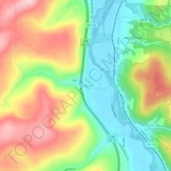
Name: Lindley topographic map, elevation, terrain.
Location: Lindley, Steuben County, New York, 14858, United States (42.00841 -77.15969 42.04841 -77.11969)
Average elevation: 395 m
Minimum elevation: 294 m
Maximum elevation: 523 m