
Wye River topographic map
Interactive map
Click on the map to display elevation.
About this map
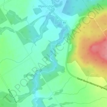
Name: Wye River topographic map, elevation, terrain.
Location: Wye River, Tiny, Simcoe County, Ontario, L4R 0G1, Canada (44.67407 -79.88883 44.69255 -79.87711)
Average elevation: 212 m
Minimum elevation: 180 m
Maximum elevation: 281 m