
Malmsbury topographic map
Interactive map
Click on the map to display elevation.
About this map
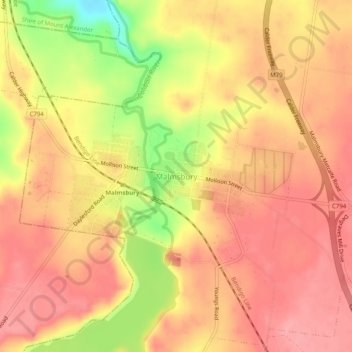
Name: Malmsbury topographic map, elevation, terrain.
Location: Malmsbury, Shire of Macedon Ranges, Victoria, Australia (-37.20877 144.36278 -37.16877 144.40278)
Average elevation: 463 m
Minimum elevation: 396 m
Maximum elevation: 493 m
Victoria trails, hiking, mountain biking, running and outdoor activities