
Samford topographic map
Interactive map
Click on the map to display elevation.
About this map
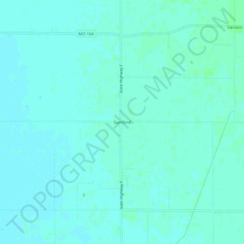
Name: Samford topographic map, elevation, terrain.
Location: Samford, Pemiscot County, Missouri, 63853, United States (36.05424 -89.93425 36.09424 -89.89425)
Average elevation: 78 m
Minimum elevation: 75 m
Maximum elevation: 82 m
Other topographic maps
Click on a map to view its topography, its elevation and its terrain.