
Pearce topographic map
Interactive map
Click on the map to display elevation.
About this map
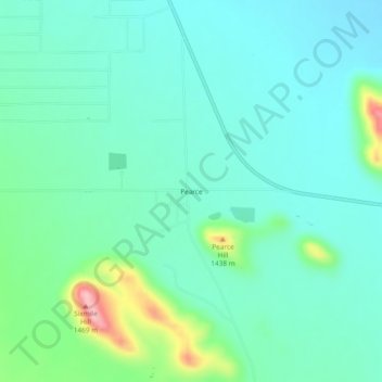
Name: Pearce topographic map, elevation, terrain.
Location: Pearce, Cochise County, Arizona, United States (31.88509 -109.84062 31.92509 -109.80062)
Average elevation: 1,351 m
Minimum elevation: 1,313 m
Maximum elevation: 1,489 m