
Clinton County topographic map
Interactive map
Click on the map to display elevation.
About this map
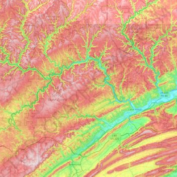
Name: Clinton County topographic map, elevation, terrain.
Location: Clinton County, Pennsylvania, United States of America (40.96294 -78.09338 41.47858 -77.14015)
Average elevation: 465 m
Minimum elevation: 158 m
Maximum elevation: 746 m
Other topographic maps
Click on a map to view its topography, its elevation and its terrain.
Linfield
United States of America > Pennsylvania > Limerick Township > Linfield
Average elevation: 57 m
Tippery
United States of America > Pennsylvania > Cranberry Township > Tippery
Average elevation: 460 m
Southampton
United States of America > Pennsylvania > Upper Southampton Township > Southampton
Average elevation: 75 m