
Tayene topographic map
Interactive map
Click on the map to display elevation.
About this map
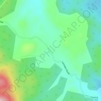
Name: Tayene topographic map, elevation, terrain.
Location: Tayene, Launceston, Tasmania, 7250, Australia (-41.36000 147.44000 -41.34000 147.46000)
Average elevation: 655 m
Minimum elevation: 582 m
Maximum elevation: 852 m
Tasmania trails, hiking, mountain biking, running and outdoor activities
Other topographic maps
Click on a map to view its topography, its elevation and its terrain.