
Panta topographic map
Interactive map
Click on the map to display elevation.
About this map
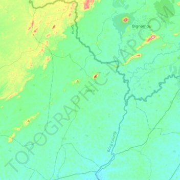
Name: Panta topographic map, elevation, terrain.
Location: Panta, Bong County, Liberia (7.04811 -9.30292 7.39064 -9.10144)
Average elevation: 303 m
Minimum elevation: 235 m
Maximum elevation: 667 m