
De Steeg topographic map
Interactive map
Click on the map to display elevation.
About this map
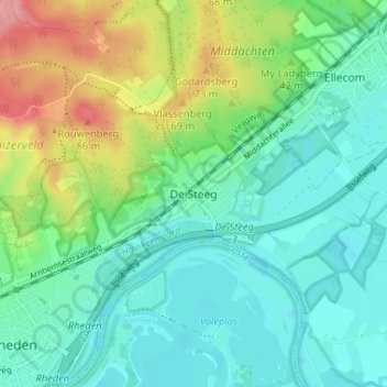
Name: De Steeg topographic map, elevation, terrain.
Location: De Steeg, Gelderland, Nederland, 6994, Nederland (51.99998 6.04060 52.03998 6.08060)
Average elevation: 30 m
Minimum elevation: 2 m
Maximum elevation: 101 m