
Lorinna topographic map
Interactive map
Click on the map to display elevation.
About this map
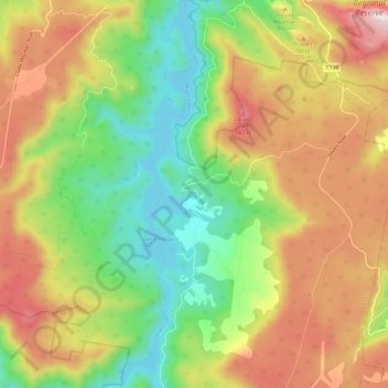
Name: Lorinna topographic map, elevation, terrain.
Location: Lorinna, Kentish, Tasmania, Australia (-41.57665 146.12141 -41.48703 146.18524)
Average elevation: 555 m
Minimum elevation: 211 m
Maximum elevation: 985 m