
Donnersbachwald topographic map
Interactive map
Click on the map to display elevation.
About this map
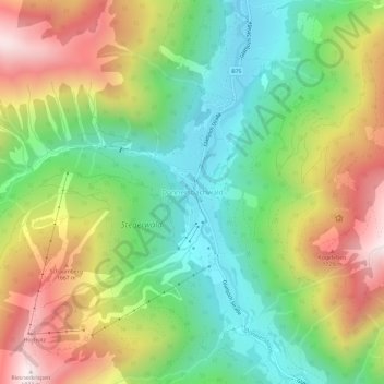
Name: Donnersbachwald topographic map, elevation, terrain.
Location: Donnersbachwald, Liezen, Steiermark, 8953, Österreich (47.36333 14.09667 47.40333 14.13667)
Average elevation: 1,337 m
Minimum elevation: 935 m
Maximum elevation: 1,912 m