
Rossville topographic map
Interactive map
Click on the map to display elevation.
About this map
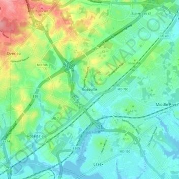
Name: Rossville topographic map, elevation, terrain.
Location: Rossville, Baltimore County, Maryland, 21237, United States (39.30088 -76.52417 39.38088 -76.44417)
Average elevation: 29 m
Minimum elevation: -2 m
Maximum elevation: 104 m