
Buri Ram topographic map
Interactive map
Click on the map to display elevation.
About this map
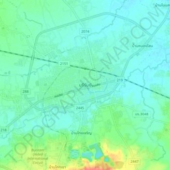
Name: Buri Ram topographic map, elevation, terrain.
Location: Buri Ram, Isan, Buri Ram Province, 31009, Thailand (14.95557 103.06792 15.03557 103.14792)
Average elevation: 160 m
Minimum elevation: 149 m
Maximum elevation: 199 m