
Kruibeke topographic map
Interactive map
Click on the map to display elevation.
About this map
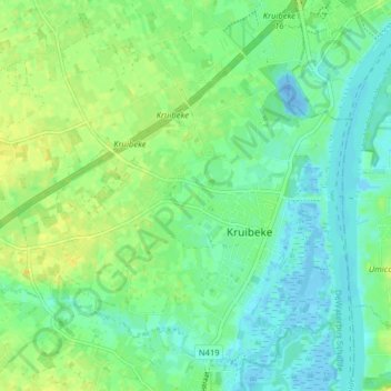
Name: Kruibeke topographic map, elevation, terrain.
Location: Kruibeke, Sint-Niklaas, East Flanders, Flanders, Belgium (51.15361 4.25025 51.19805 4.32958)
Average elevation: 8 m
Minimum elevation: -24 m
Maximum elevation: 19 m