
Jamestown topographic map
Interactive map
Click on the map to display elevation.
About this map
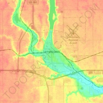
Name: Jamestown topographic map, elevation, terrain.
Location: Jamestown, Stutsman County, North Dakota, United States (46.87739 -98.75867 46.94292 -98.61514)
Average elevation: 451 m
Minimum elevation: 418 m
Maximum elevation: 468 m